

Aerial Services Partnership Inspections
Common Deployments
-
![]()
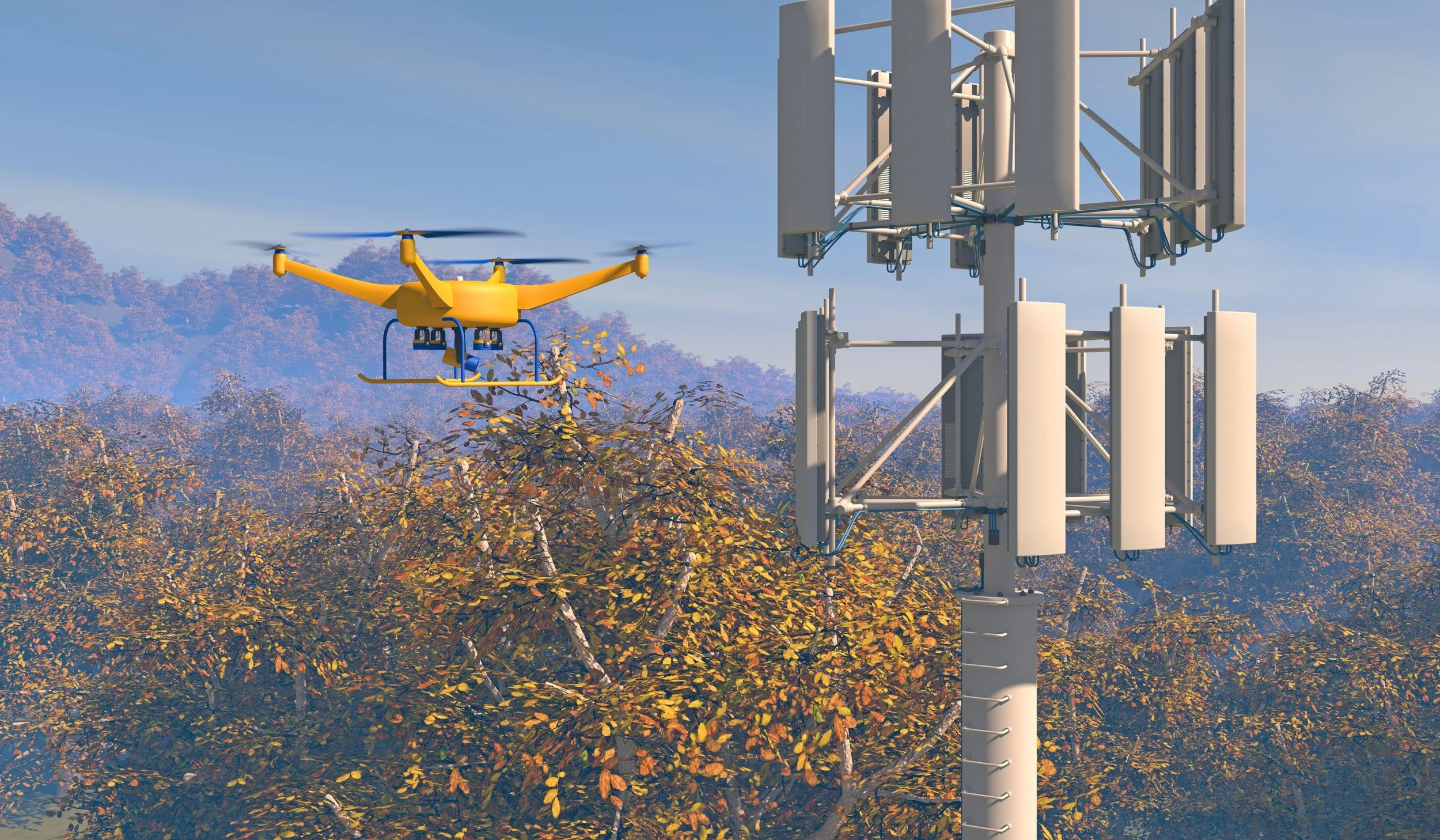
Cell Towers
-
![]()
Bridges
-
![]()
Commercial Structures
-
![]()
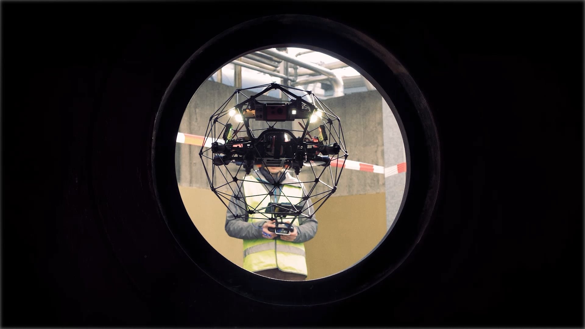
Confined Spaces


-
![]()
Flare Stacks
-
![]()
Industrial Structure
-
![]()
Condition Audits
-
![]()
Wind Turbines


DC Geomatics and its inspection partners have completed hundreds of missions to date. We empower our partners with assistance in site access and HSE protocols and overall project support.
How can drones actually help and benefit from Inspections?
Lower Inspection Costs
Better Images and Data sharing
Time-saving
Ability to access hard-to-reach locations
Improve Safety
Faster, safer, and cost-effective
How to use drones in Inspections?
Cell Tower Inspections
Confined Spaces
Offshore Constructions
Onshore Constructions
Flare Stacks
Industrial Construction
Equipment Assessment
Mining Operations
Inspection Drones
Want to know more about our Managed Aerial Services Program?
Visit the compliance enquiry page or contact us by filling in the form and one of our staff members will get back to you shortly.